Home
Home

 Artists
 Search
 Recent
 Random
 Posts
Posts
 DMs
DMs
 Tags
Tags
 Random
 Importer
 Import
 FAQ
FAQ
 Account
 Register
 Favorites
 Login
Login

Saryer's Overlook (Patreon)
Content
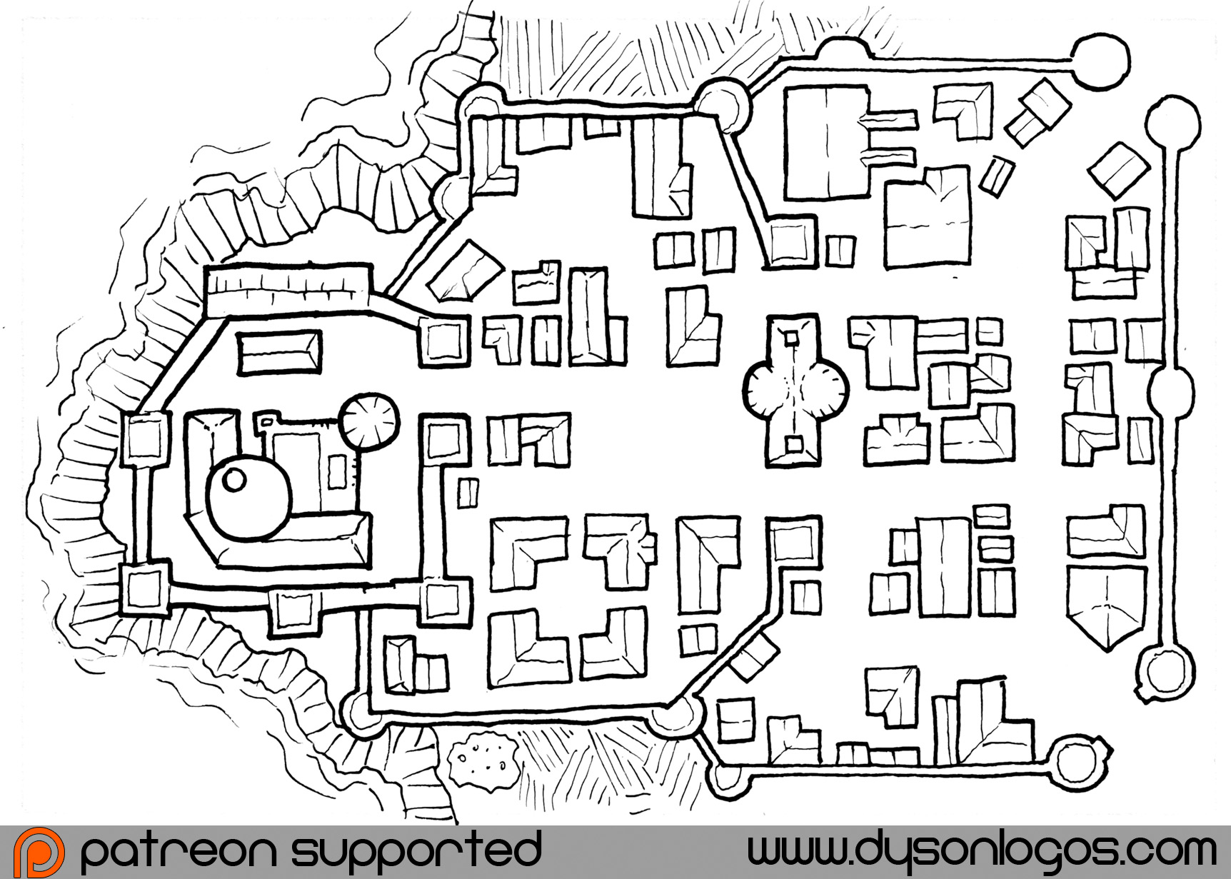
At first the name applied only to the small castle and the walls thereof – occasionally called Salyer’s Fort on some maps of the local area. Over the last fifteen years the structures have expanded twice, extending new curtain walls to enclose various structures including guild halls, churches, mercenary quarters – and later a tall structure to roost the giant bats that have been tamed and ridden by the older explorers of the Manticore Peninsula.
Initially subsisting on imported foods and what could be hunted and scavenged in the forests, as Saryer’s Overlook expanded so did the safety it provided and it is now surrounded by a cleared area of farmland that extends up to a mile or two from the walls. The docks a little further down the coast have also expanded and will be covered in their own upcoming map.

You can download the map for personal and commercial use from the blog at https://rpgcharacters.wordpress.com/2017/10/06/saryers-overlook/