Home
Home

 Artists
 Search
 Recent
 Random
 Posts
Posts
 DMs
DMs
 Tags
Tags
 Random
 Importer
 Import
 FAQ
FAQ
 Account
 Register
 Favorites
 Login
Login

Hiking Through Colorado Canyons ~ 1930 Prelinger Archives (Patreon)
Content
more at http://quickfound.net/
Silent, with title cards.
Originally a public domain film from the National Archives or Library of Congress Prelinger Archives, slightly cropped to remove uneven edges, with the aspect ratio corrected, and one-pass brightness-contrast-color correction & mild video noise reduction applied.
https://en.wikipedia.org/wiki/McInnis_Canyons_National_Conservation_Area
Wikipedia license: http://creativecommons.org/licenses/by-sa/3.0/
The McInnis Canyons National Conservation Area (MCNCA) is a 123,400-acre (499 km2) National Conservation Area located in Mesa County, west of Grand Junction, Colorado. The MCNCA has rugged sandstone canyons, natural arches, spires, and alcoves carved into the Colorado Plateau, through which runs a 24-mile (39 km) stretch of the Colorado River. Included in the MCNCA is the 75,500-acre (306 km2) Black Ridge Canyons Wilderness (BRCW) with 5,200 acres (21 km2) extending into eastern Grand County, Utah at the MCNCA's western boundary.
The MCNCA is managed by the Bureau of Land Management as part of the National Landscape Conservation System, and was officially designated on October 24, 2000, when the Colorado Canyons National Conservation Area and Black Ridge Canyons Wilderness Act of 2000 became Public Law 106-353. The NCA was renamed after Congressman Scott McInnis on January 1, 2005.
McInnis Canyons NCA has a variety of resources and recreation opportunities resulting in users with diverse interests, including hiking, biking, float boating, off-highway vehicle (OHV) use, horseback riding, hunting, wildlife watching, backpacking, camping, and grazing resources; as well as geological, paleontological and scientific sites.
McInnis Canyons NCA is also home to the Rattlesnake Arches. This area houses the highest concentration of naturally occurring arches in Colorado, and even the second most in the world, behind Arches National Park. It is located in the Black Ridge Canyons Wilderness and comprises sandstone formations, and is not able to be reached by vehicle.
Management
McInnis Canyons is located within the Bureau of Land Management's Grand Junction Field Office. A Resource Management Plan (RMP) was written and approved for the NCA in 2004...
https://en.wikipedia.org/wiki/Black_Ridge_Canyons_Wilderness
The Black Ridge Canyons Wilderness (BRCW) is located in western Colorado with a small portion extending into eastern Utah, USA, within the arid Colorado Plateau region approximately 15 miles (24 km) west of Grand Junction, Colorado. The wilderness lies on the northwest flank of the Uncompahgre Plateau. It is characterized by the high, east-west trending Black Ridge dissected by seven major canyon systems, draining into the Colorado River in Ruby Canyon. Elevations range from 4,700 feet (1,400 m) above sea level along the river to 6,800 feet (2,070 m). Canyons vary in length from several miles to twelve miles in length and may contain interesting side canyons. Geological features in these canyons include spires, windows, giant alcoves and desert varnish. Canyons may reach a depth of almost 1,000 feet (300 m), forming spectacular redrock cliffs. Spring runoff and summer thunderstorms create glistening waterfalls and plunge pools. Rattlesnake Canyon contains the second largest concentration of natural arches in the country. Mee Canyon is even more remote, and contains Arch Tower.
Vegetation in the meandering canyon bottoms includes grasses, pinyon, juniper, cottonwood, willow and box elder. The upland mesas contain dense stands of pinyon and juniper with some sagebrush parks. Cryptobiotic soils are well developed in the upland areas. Wildlife viewing may include deer, mountain lion, desert bighorn sheep, along with golden and bald eagles. The wilderness area is 75,439 acres (305.29 km2) of which 70,319 acres (284.57 km2) are in Colorado and 5,120 acres (20.72 km2) are in Utah. It was designated by the U.S. Congress in 2000 and is administered by the Bureau of Land Management. The Black Ridge Canyons Wilderness forms the core of the 123,430 acres (500 km2) McInnis Canyons National Conservation Area...
https://en.wikipedia.org/wiki/Colorado_Plateau
The Colorado Plateau, also known as the Colorado Plateau Province, is a physiographic and desert region of the Intermontane Plateaus, roughly centered on the Four Corners region of the southwestern United States...
The Colorado Plateau is largely made up of high desert, with scattered areas of forests...
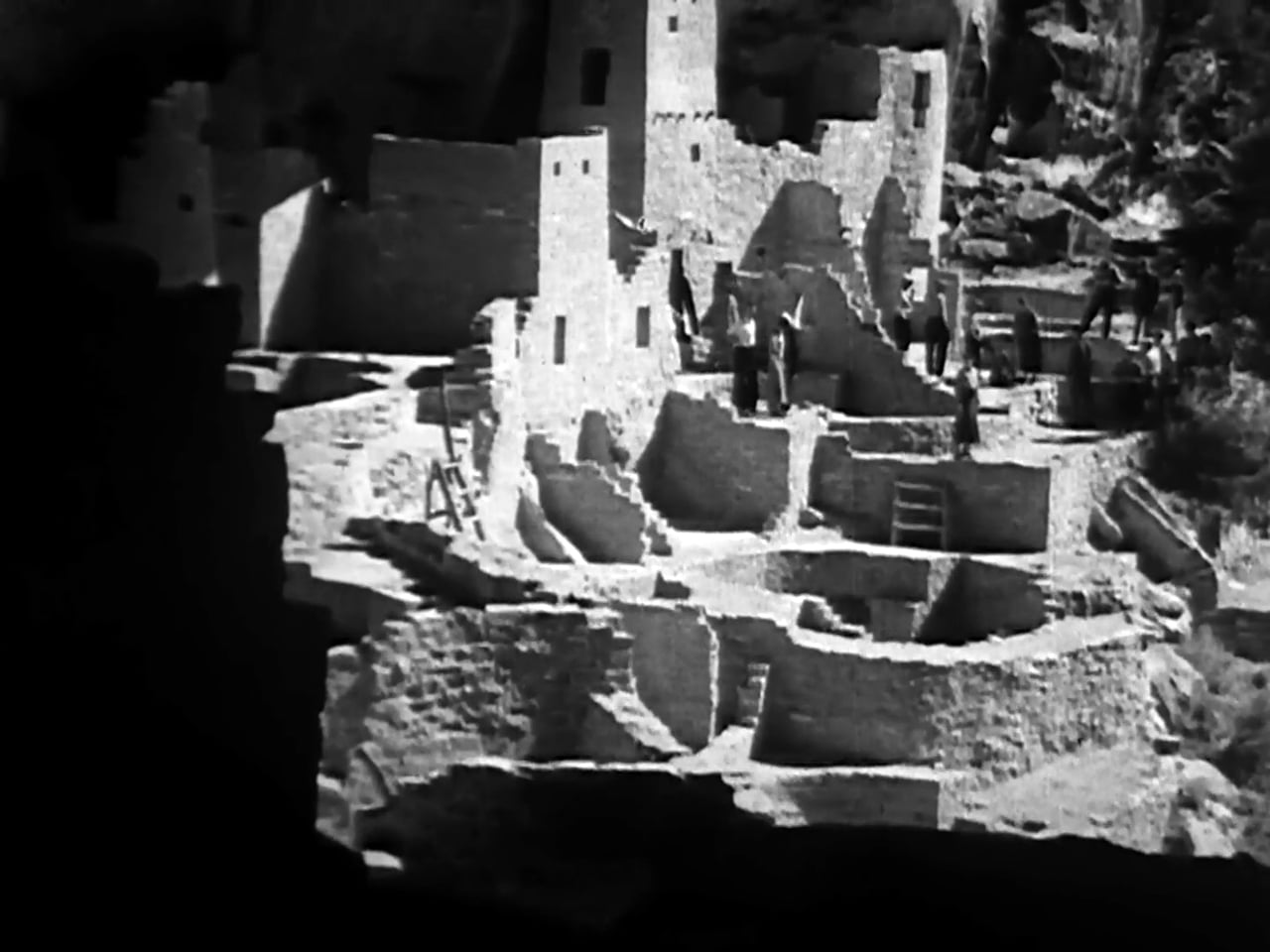
Among its nine national parks are Grand Canyon, Zion, Bryce Canyon, Capitol Reef, Canyonlands, Arches, Mesa Verde, and Petrified Forest. Among its 18 national monuments are Bears Ears, Rainbow Bridge, Dinosaur, Hovenweep, Wupatki, Sunset Crater Volcano, Grand Staircase-Escalante, Natural Bridges, Canyons of the Ancients, Chaco Culture National Historical Park and the Colorado National Monument...